By CESAR JOLITO III
Authorities in the Negros Island Region (NIR) are on heightened alert as Severe Tropical Storm “Opong” and the enhanced southwest monsoon or habagat are expected to bring heavy rainfall that may trigger flooding and landslides across Negros Occidental and Negros Oriental.
The Regional Disaster Risk Reduction and Management Council (RDRRMC)-NIR placed the region under red alert status yesterday to ensure readiness against multiple hazards, including potential lahar flow from Kanlaon Volcano.
Donato Sermeno III, RDRRMC-NIR chair and head of the Office of Civil Defense (OCD) in NIR, urged the public to remain vigilant and heed local authorities.
“Consider preemptive evacuation upon the advice of local authorities,” Sermeno stressed.
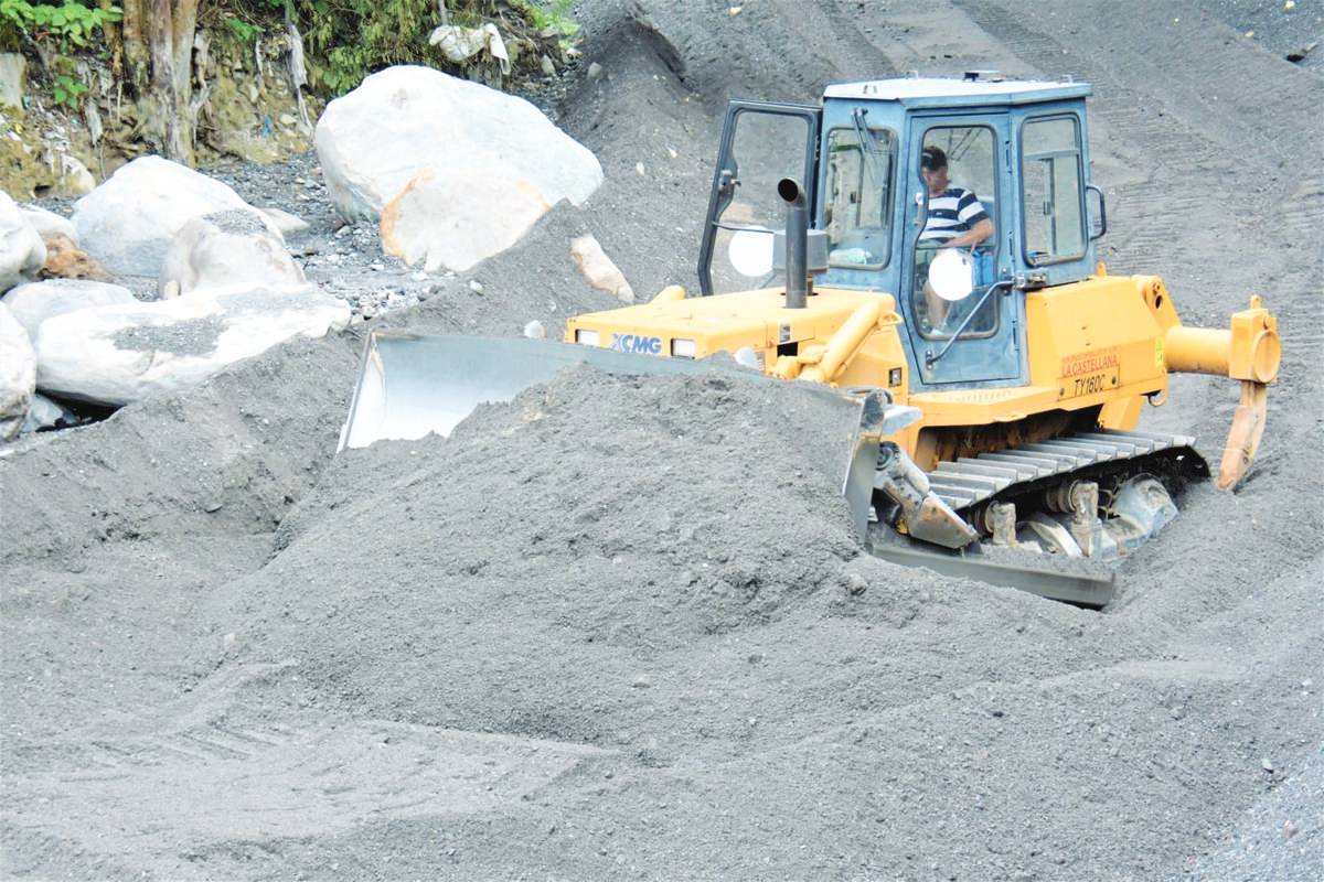
Communities surrounding Kanlaon, particularly La Castellana town, are advised to prepare for possible lahar flow triggered by heavy rains.
Local and provincial governments have also continued dredging rivers and creeks to clear volcanic debris that could worsen flooding.
State weather bureau Philippine Atmospheric, Geophysical and Astronomical Services Administration (Pagasa), in its advisory yesterday, warned that intense rains may affect NIR starting today until Friday, September 26, with continued downpours expected in Negros Occidental through Saturday, September 27.
“Ompong” and habagat are expected to bring moderate to heavy rains (50 to 100 millimeters) to Palawan, Antique, Iloilo, Guimaras, Negros Occidental, Negros Oriental, and Siquijor this afternoon until Friday afternoon.
From Friday afternoon until Saturday afternoon, the same amount of rainfall may be experienced in Palawan, Antique, Aklan, and Negros Occidental.
Localized flooding is possible mainly in urbanized and low-lying areas near rivers, Pagasa said.
Landslides are also possible in highly susceptible areas.
Meanwhile, the Bacolod City Disaster Risk Reduction and Management Office has been placed under blue alert status as part of its preparedness measures for the approaching storm.
In its 5:00 p.m. bulletin yesterday, Pagasa said “Opong” has further intensified into a severe tropical storm, packing maximum sustained winds of 95 kilometers per hour (kph) near the center and gustiness of up to 115 kph.
“Opong” was located 670 kilometers east of Surigao City, Surigao del Norte, moving west-northwestward at 20 kph.
Pagasa raised Tropical Storm Wind Signal No. 2 over Northern Samar and the northern portion of Eastern Samar.
Meanwhile, Signal No. 1 was raised over Catanduanes, Camarines Sur, Albay, Sorsogon, Masbate, Samar, the rest of Eastern Samar, Biliran, and the northern portion of Leyte.
Pagasa added that the severe tropical storm is expected to intensify into a typhoon before making landfall over the Bicol Region on Friday.
It was forecast to cross Southern Luzon, including Metro Manila.
Signal No. 3 or 4 may be raised, Pagasa said. / With reports from PNA / CJ, WDJ