The municipality of La Castellana in Negros Occidental has allotted a 1.7-hectare land for the establishment of a relocation site and an evacuation center for residents affected by the volcanic activity of Mt. Kanlaon.
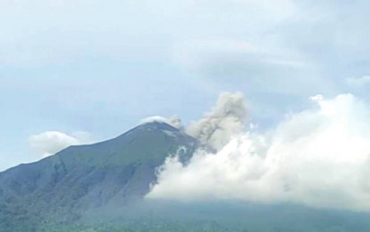
At least six of the town’s villages are at the foot of the active volcano, which is currently under Alert Level 2 (increasing unrest) after its explosive eruption on June 3.
As of yesterday, at least 10 families or almost 40 individuals no longer allowed to return to their houses located within the four-kilometer permanent danger zone (PDZ), are staying in the covered court of Barangay Masulog and being provided daily with food and shelter by the municipal government.
Mayor Rhummyla Nicor-Mangilimutan said the land located in Barangay Manghanoy is part of the property previously purchased by the municipal government under its land banking program.
“On the part of the local government unit [LGU], we have prepared land for relocation of residents and for the construction of an evacuation,” she said in an interview.
The Department of Human Settlements and Urban Development will help the 10 affected families build homes at the relocation site, the mayor said, adding that she also sought assistance from the national government for the construction of the evacuation center.
Nicor-Mangilimutan said the proposed site is located near a sanitary landfill and those who lost their livelihood due to relocation would be trained to work at the facility.
Last month, the Department of Environment and Natural Resources began installing flags to delineate the volcano’s four-kilometer radius PDZ to “enhance community safety in the event of volcanic alert escalation at Mt. Kanlaon.”
Flag markers strategically installed within the PDZ will prevent unauthorized access into high-risk zones prone to volcanic activity, according to the Provincial Environment and Natural Resources Office-Negros Occidental.
The Regional Disaster Risk Reduction and Management Council 6 (Western Visayas) has recommended the declaration of the four-kilometer radius PDZ set by the Philippine Institute of Volcanology and Seismology as a strict protection zone (SPZ).
The SPZ means an area shall be closed to all human activity except for scientific studies and ceremonial or religious use by indigenous cultural communities or indigenous peoples. (PNA)