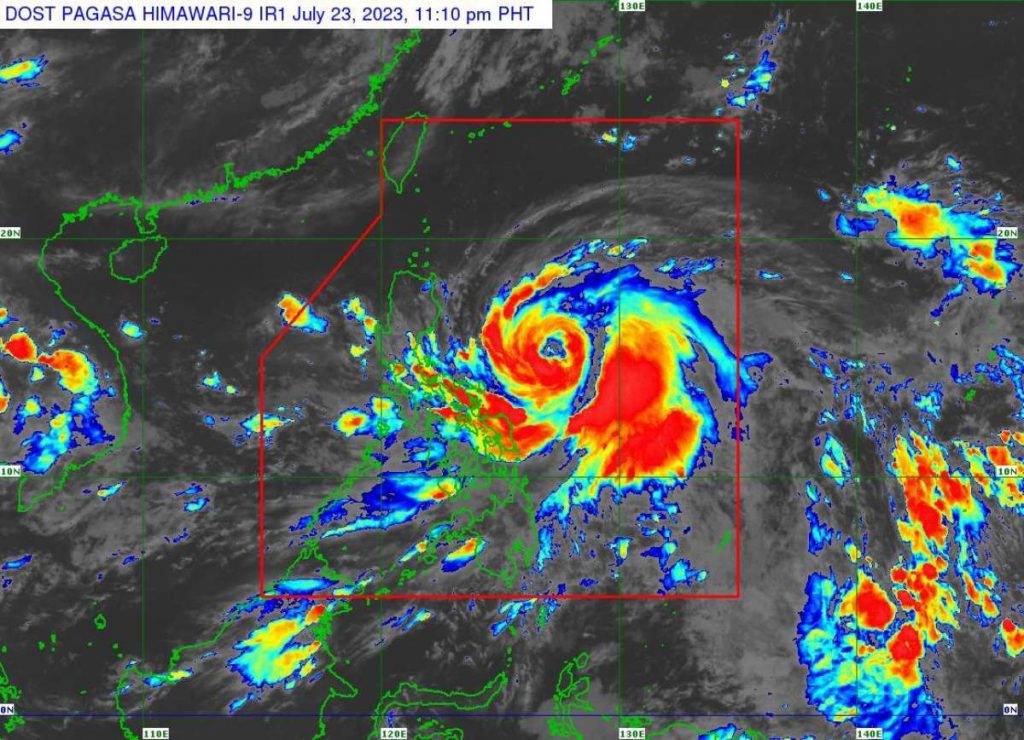
The Regional Disaster Risk Reduction and Management Council in Western Visayas (RDRRMC-6) on Saturday night, July 22, activated the “Charlie” protocol, the highest level in emergency preparedness and response (EPR) protocols, in preparation for the possible onslaught of Severe Tropical Storm (STS) “Egay.”
In a memorandum, Office of Civil Defense-6 officer-in-charge and RDRRMC-6 chairperson Ma. Aletha Nogra directed all local DRRMCs in the region to also activate their designated EPR protocols or higher as deemed necessary.
“The activation of EPR protocols shall be effective immediately,” Nogra said.
These include low or Alpha for the provinces of Aklan and Guimaras as well as the cities of Bacolod and Iloilo, while moderate (Bravo) for Antique, Capiz, Iloilo, and Negros Occidental provinces.
Nogra also requested concerned agencies, including the Department of Social Welfare and Development, Department of Health, Philippine Coast Guard, Philippine Army, Philippine Air Force, and Philippine National Police, to deploy representatives for duty at the RDRRM Emergency Operations Center.
An initial report released by the RDRRMC-6 showed yesterday that in Negros Occidental, some 2,353 families or 7,662 persons have been affected by floods due to torrential rains in the fourth district, particularly in San Enrique and Pontevedra towns, as well as in Bago City.
A rockslide was reported in Hinoba-an town in the south, but no casualties were recorded and a clearing operation was already conducted.
As of 11:00 a.m. yesterday, the Philippine Atmospheric, Geophysical and Astronomical Services Administration said in an advisory that “Egay” has intensified into STS, while moving westward and is forecast to move slowly in the next 12 hours and accelerate west northwestward or westward until Monday morning, July 24.
“Afterwards, it will turn generally northwestward for the remainder of the forecast period. Although the latest track forecast shows that ‘Egay’ will remain offshore for most of the forecast period, a close approach or landfall in the vicinity of extreme Northern Luzon is still not ruled out based on the forecast confidence cone,” the latest weather bulletin added. (PNA)
