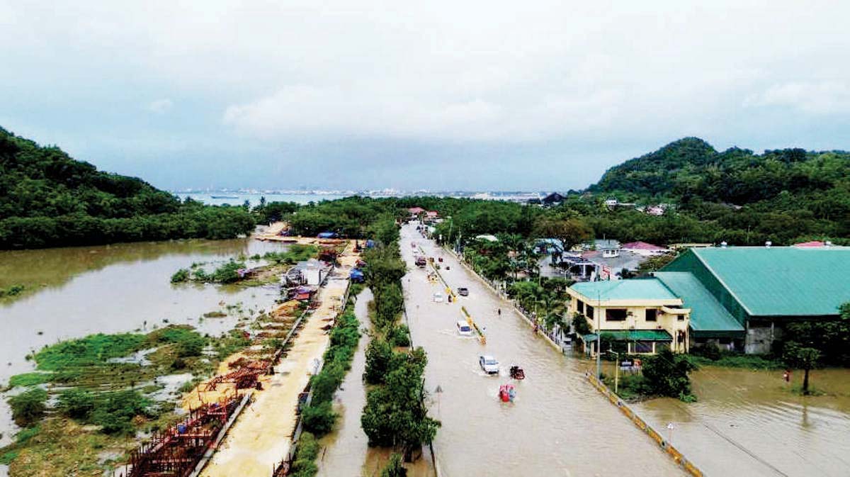
The Mines and Geosciences Bureau (MGB) Regional Office 6 of the Department of Environment and Natural Resources (DENR) is urging the public, especially those residing in vulnerable areas, to be alert for potential rain-induced landslides and flooding during the rainy season.
MGB-6 supervising geologist Dr. Leilanie Suerte, in a recent press conference organized by the Philippine Information Agency (PIA) – Antique, highlighted the critical need for local communities, local and national government agencies, and other stakeholders to remain vigilant and to take proactive measures to reduce the risk and impact of landslides and flooding, especially during the rainy season.
Suerte emphasized the importance of consulting geohazard maps and taking necessary precautions to ensure safety. She encouraged residents to consult these geohazard maps which provide detailed information on areas susceptible to landslides and floods.
These maps are accessible through the website and social media pages of the MGB, she said, adding that the public can also check areas’ susceptibility level to rain-induced flood and landslide through this website so they could be informed on geologic hazards.
“The safety of our citizens is our top priority. We urge everyone, especially those in high-risk areas, to take this reminder seriously. By staying informed and prepared, we can minimize the impact of natural calamities on our communities,” said Suerte.
The MGB official said the public may also visit the HazardHunterPH website (hazardhunter.georisk.gov.ph), which functions as the country’s “one-stop shop” for hazard assessment and allows anyone to find out which location is prone to seismic, volcanic, or hydrometeorological hazards.
It also generates hazard assessment reports and one can see which critical facilities and areas in the Philippines are prone to different hazards.
All hazard information used for assessment has been generated by government agencies, Cruz said. (PIA-6 Iloilo)