
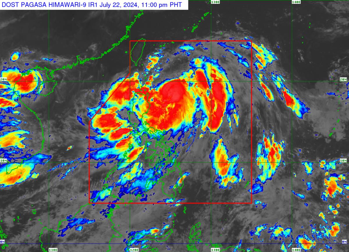
“Carina” has further intensified and is now a typhoon, packing maximum sustained winds of 120 kilometers per hour (kph) near the center and gustiness of up to 150 kph, the weather bureau said yesterday.
In its 5:00 p.m. bulletin, the Philippine Atmospheric, Geophysical and Astronomical Services Administration (Pagasa) said “Carina” was last tracked 420 km east of Tuguegarao City, Cagayan, slowly moving northeastward.
Tropical cyclone wind signal no. 1 remains hoisted over Batanes, the eastern portion of mainland Cagayan including the eastern portion of the Babuyan Islands, and the northeastern portion of Isabela. Minimal to minor impacts are likely in these areas due to strong winds.
Strong to gale-force gusts caused by the southwest monsoon (habagat) remain likely in Zambales, Bataan, Aurora, Metro Manila, Calabarzon, Mimaropa, Bicol Region, and the Visayas.
Habagat will bring monsoon rains over Ilocos Region, Abra, Benguet, Zambales, Bataan, Cavite, Batangas, and Occidental Mindoro, and occasional rains over Metro Manila, Oriental Mindoro, Romblon, Rizal, Laguna, Pampanga, Tarlac, Nueva Ecija, Bulacan, Aklan, Antique, and the rest of Cordillera Administrative Region, Northern Palawan including Calamian and Cuyo islands.
“Carina” and habagat will continue to cause moderate to rough seas over the northern and eastern seaboards of Luzon, and the western seaboards of Central and Southern Luzon, and Western Visayas.
Pagasa advised mariners of small seacraft, including all types of motorbancas, not to venture into the sea.
Meanwhile, Pagasa forecast “Carina” to remain far from landmass, and exit the Philippine area of responsibility either Wednesday night or Thursday, July 24 or 25.
“Carina” is also expected to steadily intensify, Pagasa said. (PNA)