By Dominique Gabriel G. Bañaga
Several local government units (LGUs) in Negros Occidental have already begun making preparations for the onslaught of Typhoon “Mawar” (international name).
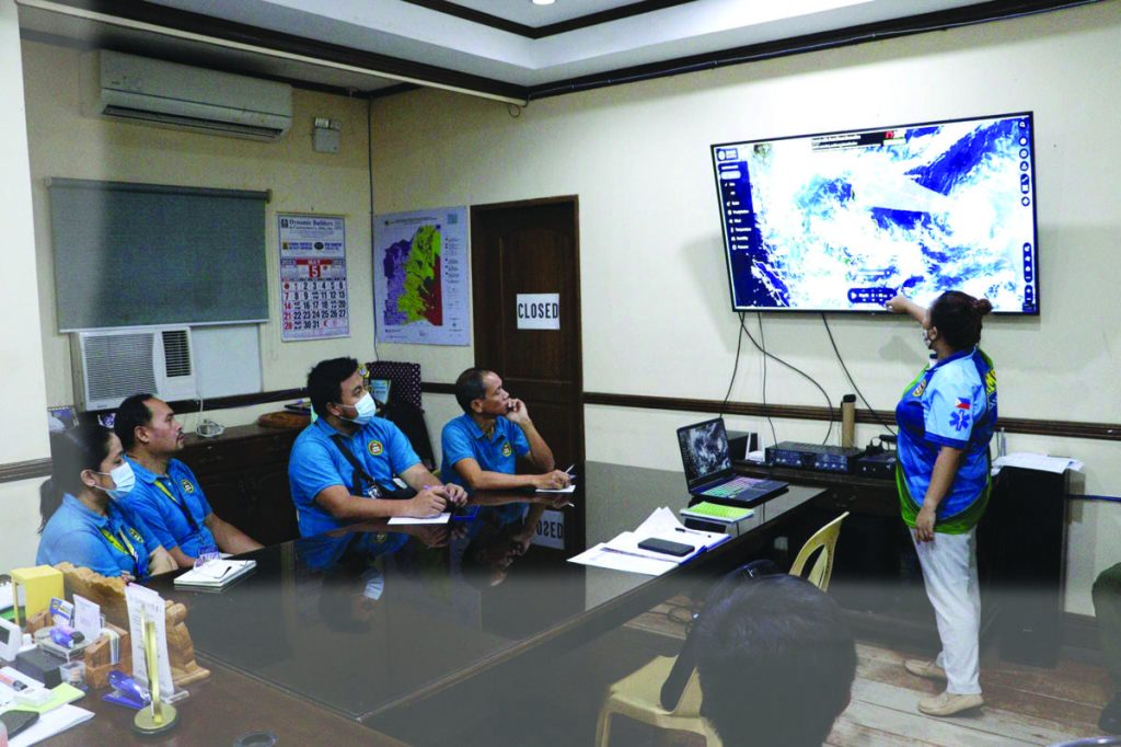
In Bacolod City, Mayor Alfredo Abelardo Benitez and Vice Mayor El Cid Familiaran held a meeting yesterday with City Disaster Risk Reduction Management Council officer, Dr. Anna Maria Laarni Pornan who presented a pre-disaster readiness assessment and emergency preparedness.
The city village officials were advised to prepare response teams, evacuation centers, food supplies, and logistics before and during the onslaught of “Mawar.”
In Himamaylan City, Mayor Raymund Tongson called for an emergency meeting on Tuesday, May 23, with the city disaster officials and local agencies.
Tongson said the local government unit aims to safeguard lives, minimize infrastructure damage and enhance overall disaster resilience in the city.
In E.B. Magalona town, the municipal government posted emergency hotline numbers on its official social media page.
The locality reminded residents what to do before, during and after a typhoon.
The municipal government has also advised residents to have a basic disaster supply kit or “bug out bag” which contains important items such as food worth for three days, clean drinking water, first aid kit, spare batteries, phone chargers, and small tool kits.
In a bulletin from the state weather bureau, the Philippine Atmospheric, Geophysical and Astronomical Services Administration (Pagasa) yesterday, “Mawar” had slightly weakened into a typhoon from the super typhoon category, but it could re-intensify once it enters the Philippine area of responsibility (PAR).
“Mawar” was last spotted 2,170 kilometers east of Visayas, with maximum sustained winds of 185 kilometers per hour (kph) and gustiness of up to 230 kph.
The weather disturbance was moving north, northwestward at 10 kph and is expected to enter PAR on Friday night, May 26, or early Saturday morning, May 27.
Once inside PAR, it will be given the local name “Betty.”
Pagasa forecasts the typhoon may recurve towards Japan, but it could still intensify the southwest monsoon or habagat, affecting Western Visayas, and causing floods and landslides.
Localized thunderstorms in the afternoon or evening will be experienced in Luzon and Metro Manila by Thursday, May 26, Pagasa said.
Visayas and Mindanao are also advised to prepare for thunderstorms due to the prevailing southwesterly winds, it added./With reports from ABS-CBN News / DGB, WDJ

